Land Surveying and Geographic Information System (GIS) services are essential components of any land-related project, whether you're a homeowner, property developer, or civil engineer.
In the picturesque region of West Kelowna, where natural beauty meets urban development, the significance of precise land surveying and GIS services cannot be overstated. Let's delve into why these services are paramount and how they contribute to informed decision-making in land development.
Understanding Topography
The undulating landscapes of West Kelowna demand a thorough understanding of topographical features. Land surveys are invaluable for detecting nuances in soil composition and structural integrity. Moreover, they help identify flood-prone areas, offering crucial insights into the potential risks associated with land acquisition or development. An accurate land survey can be the difference between a successful project and one fraught with disaster or costly delays.
Determining Plot Size
In the area of land ownership, clarity is key. Land surveys provide property owners with precise acreage and dimension information. Boundary surveys, a common type of land survey, define lot boundaries and property corners. This delineation not only ensures your property remains separate from your neighbors but also helps when planning permanent features like fences or structures. Encroachment onto adjacent parcels is not only an issue of property rights but also one that can lead to legal disputes.
Dividing a Plot of Land
For those seeking to subdivide land into distinct lots, land surveys are indispensable. Whether it's a residential subdivision or a commercial development, a survey lays the groundwork for the process. It defines how land will be divided, assigns identifiers to new lots, and provides a clear blueprint for the development.
Property Upgrades
Land surveying isn't just for initial land acquisition; it's also crucial when making property upgrades. Whether it's adding a pool, erecting a fence, or constructing a shed, precise measurements are a prerequisite. This ensures that your improvements align with property boundaries and meet local regulations, safeguarding your investment.
Compliance with City Codes and Planning Standards
To avoid costly surprises and ensure compliance with building codes and city planning regulations, precise knowledge of a site's dimensions and topography is indispensable. Whether you're adding more rooms to a building or planning a subdivision, knowing that your project aligns with the city's plans and regulations is essential. Land surveys play a pivotal role in facilitating this compliance.
Better Communication before Construction
Land surveyors equip architects and engineers with precise measurements over expansive areas. This data is instrumental in project planning, helping professionals design structures that align with local ordinances and regulations. Effective communication and planning, enabled by accurate land surveys, are vital for the success of any construction project.
Encroachments
Property boundaries are sacrosanct. Land surveys help property owners identify any encroachments onto their land, providing indisputable evidence of property rights. This knowledge can be invaluable in resolving disputes and ensuring that your land remains yours.
Renovation & Demolition
Before embarking on renovation or demolition projects, comprehensive information about the property is essential. Land surveys pinpoint existing structures, enabling developers and engineers to assess the feasibility of their plans. Additionally, they assist county officials in ensuring that developments adhere to local construction and building codes, promoting safe and compliant construction practices.
Conclusion
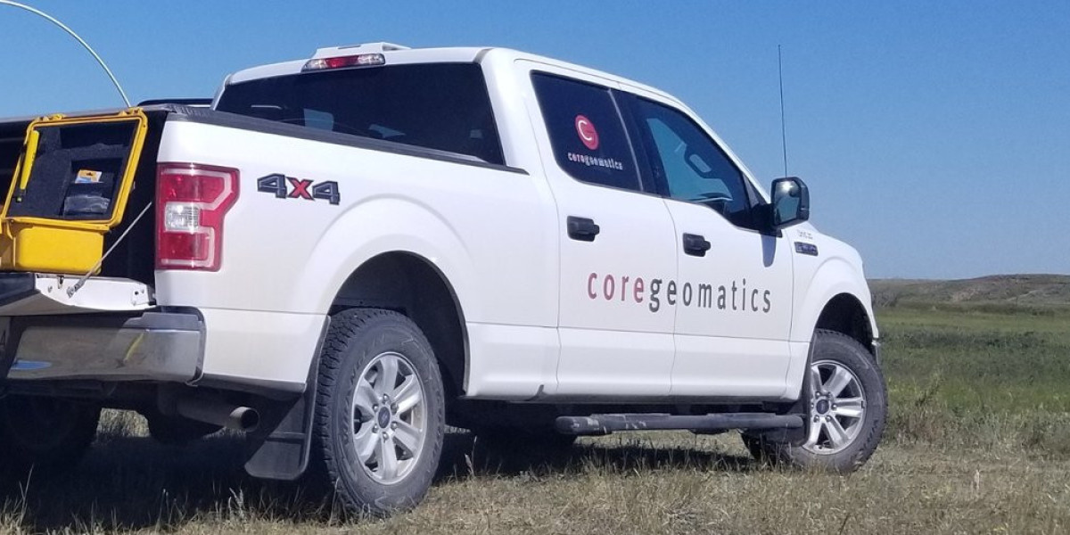
In the scenic region of West Kelowna, where natural beauty converges with development ambitions, Core Geomatics stands as a reliable partner. Their expertise in land surveying and GIS services ensures that your projects are built on a strong foundation of accurate information.
Whether it's understanding topography, determining plot sizes, or navigating complex city regulations, Core Geomatics is your compass in the land development journey. With precision and passion, they help you map your dreams onto the canvas of West Kelowna's captivating landscape.
For More Information about Survey Companies Calgary and Calgary Land Surveyors Please Visit: CORE Geomatics.


