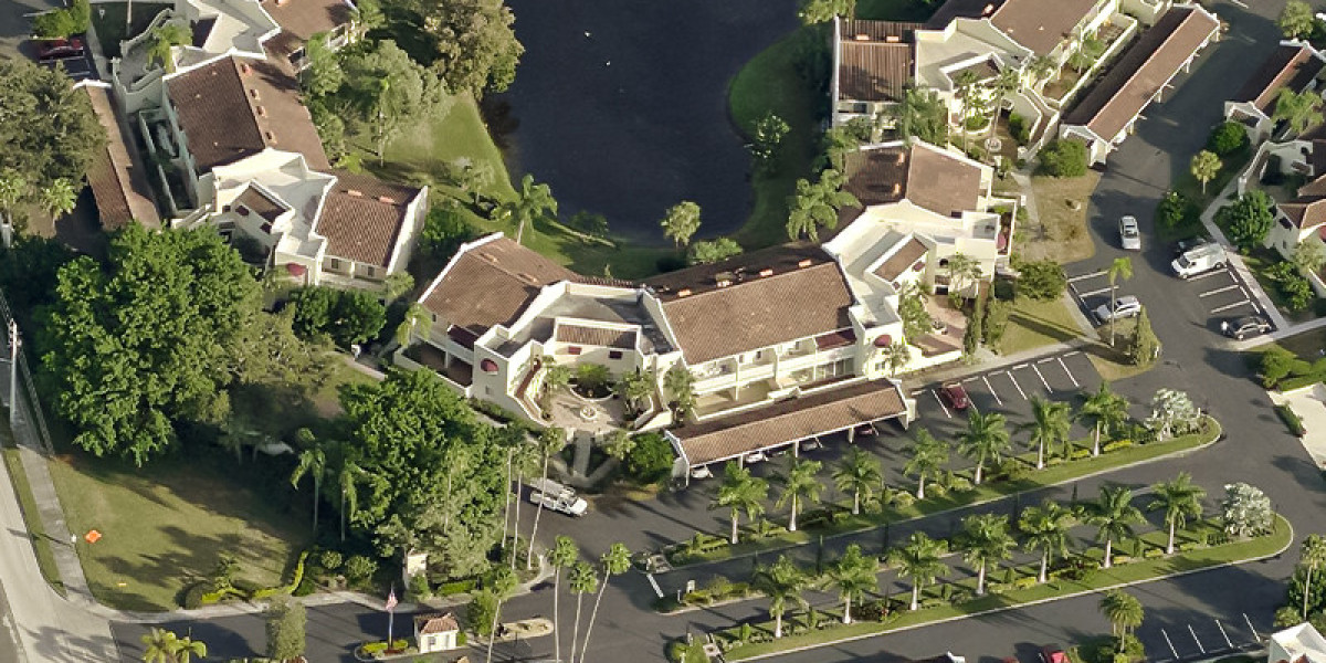
In the past few decades, aerial imagery has transcended the limits of traditional photography, soaring to new heights with the advent of drone technology and other groundbreaking innovations. The skies are no longer just a vast expanse; they have become a canvas for data collection, analysis, and visualization. Drones, in particular, have revolutionized the way we capture and interpret aerial imagery, opening doors to a myriad of applications and setting the stage for even more remarkable advancements in the field.
A New Era of Exploration: Drones Taking Flight
Drones, also known as Unmanned Aerial Vehicles (UAVs), have empowered us to explore and understand our world from perspectives previously inaccessible. These compact marvels are equipped with high-resolution cameras, sensors, and GPS capabilities, enabling them to capture aerial images and gather data with unprecedented precision. From towering mountains to urban landscapes, drones effortlessly navigate through the skies, providing a unique vantage point for various industries.
Mapping and Surveying: Precision from Above
One of the most significant applications of drone technology in aerial imagery is in mapping and surveying. Traditional land surveying methods are time-consuming and often involve risks. Drones, on the other hand, can swiftly cover large areas while collecting accurate data. This is invaluable for urban planning, construction site monitoring, and creating detailed topographic maps. By utilizing drones, professionals can save time, resources, and manpower while maintaining a high level of accuracy.
Agriculture's New Guardians: Precision Farming
The agriculture sector has embraced drones as well, ushering in the era of precision farming. By using aerial imagery, farmers can monitor crop health, assess soil conditions, and even administer targeted treatments. Drones equipped with multispectral cameras can detect variations in plant health invisible to the human eye, enabling farmers to address issues before they escalate. This not only enhances crop yields but also promotes sustainable farming practices by optimizing resource usage.
Safety and Disaster Response: Drones in Emergency Situations
Drones have become indispensable tools in disaster response and recovery efforts. In the aftermath of natural disasters, they can rapidly assess damage, identify hazards, and locate survivors. Equipped with thermal cameras, drones can detect heat signatures, aiding search and rescue teams in locating individuals trapped under debris. Moreover, these aerial devices can provide real-time situational awareness to emergency responders, facilitating informed decision-making in critical moments.
Exploring New Frontiers: Beyond Drones
While drones have undoubtedly transformed aerial imagery capture, the future holds even more exciting possibilities. Researchers and innovators are constantly pushing boundaries, exploring new technologies that could redefine how we interact with our environment from above.
Satellite Constellations: Companies like SpaceX and OneWeb are launching constellations of small satellites to provide global high-resolution imagery coverage. These satellites will work in synergy to capture continuous and comprehensive images of the Earth's surface, revolutionizing the way we monitor changes in real-time.
Hyperspectral Imaging: Hyperspectral sensors capture images across a wide range of electromagnetic wavelengths, allowing for incredibly detailed analysis of materials and vegetation. This technology could unlock insights in areas like mineral exploration, environmental monitoring, and agriculture.
LiDAR Innovation: LiDAR (Light Detection and Ranging) technology utilizes laser pulses to create detailed 3D maps of terrain and structures. When combined with aerial platforms, it enables high-precision mapping for applications like forestry management, flood modeling, and infrastructure planning.
Conclusion: Sky's the Limit
The evolution of aerial imagery capture, propelled by drones and emerging technologies, has propelled us into a new era of understanding and interaction with our world. From mapping and agriculture to disaster response and scientific research, the applications are vast and diverse. As we continue to explore the possibilities, it's evident that the sky is not the limit—it's a canvas of opportunity, waiting to be unveiled by the ingenuity of human innovation.


